
BionicNavi-100
Visual Navigation Sensor for Drones and Robots
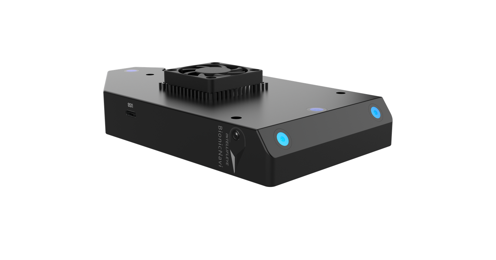
BionicNavi (BN-100) is a visual navigation sensor developed independently by IntelliFleye. Based on multi-source data fusion technology, it provides high-precision navigation and positioning with and without GPS. Its lightweight, compact design, low power consumption, comprehensive data interface and convenient SDK make it easy to integrate into drones, unmanned vehicles, unmanned ships and robots.
±10 cm
Visual-mode accuracy, no satellite signal, with good image quality
265 g
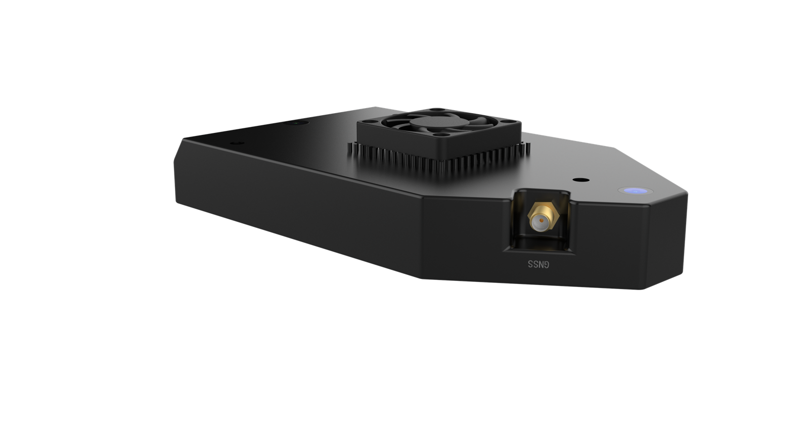
Weight, including external GNSS antenna
10 W
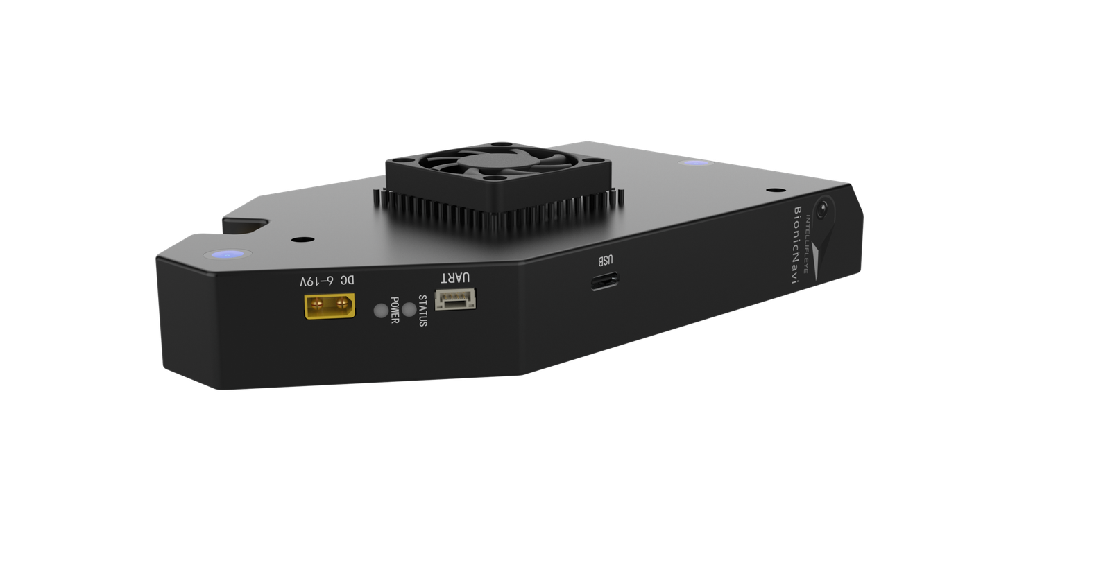
Rated power consumption, 6 V to 19 V input
~49 Hz
Odometry update rate observed in field logs
Key features
Real-time, high-frequency data flow
Continuous position and velocity output for responsive flight control.
Multi-scenario adaptability
Works with and without GPS across indoor, outdoor and electromagnetic interference environments.
High-precision positioning
Horizontal and vertical accuracy of ±10 cm in visual mode with good image quality.
Lightweight module design
A compact 265 g unit that mounts with screws through its mounting holes.
SDK for secondary development
A convenient SDK development protocol makes custom integration straightforward.
No companion computer needed
Onboard visual processing sends finished position and velocity data straight to the flight controller.
How it works
BN-100 uses a visual-inertial navigation approach. A dedicated visual odometry sensor is fused with the host autopilot's IMU through an Extended Kalman Filter (EKF2 on PX4, EKF3 on ArduPilot). It is not LiDAR SLAM or radar-based.
Positioning is non-cumulative and map-free: the sensor does not build or match against a pre-existing map, which suits unpredictable environments such as collapsed structures or unmapped tunnels.
1. MAP FREE
2. NON-CUMULATIVE
3. ONBOARD PROCESSING
Step 1
BN-100 sensor
Performs its own visual processing onboard.
Step 2
UART serial link
921600 baud, MAVLink ODOMETRY (331) or native binary protocol.
Step 3
Pixhawk-series autopilot
PX4 (EKF2) or ArduPilot (EKF3) fuses the data with its own IMU.
BN-100 technical specifications
Applications
Inspection
Suited to inspection in strong electromagnetic interference, complex indoor environments and GNSS-denied environments.
1. Outdoor with complex obstacles
2. Indoor with complex obstacles
3. Electromagnetic interference, such as transformers and substations
4. Without GNSS
Search and Rescue
Directly applicable to tunnel and underground rescue where GPS is completely unavailable and lighting is poor, such as hydropower tunnel collapse response, mine rescue and confined-space search.
1. Mine and cave
2. Highway tunnel
3. Mall
4. Forest
Mapping
Suited to mapping in strong electromagnetic interference, complex indoor environments and GNSS-denied environments.
1. Tunnel
2. Bridge
3. Grid inspection
4. Underground tunnel
Compatible platforms
One sensor, many carriers
Precise positioning and navigation in the vast majority of scenarios.
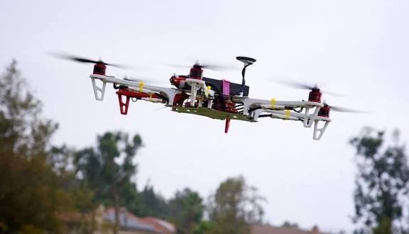
DRONES
Robotics

Auto Industry

Submarine
Frequently asked questions
Can BionicNavi work without GPS?
Yes. In visual mode it provides positioning without satellite signals, with ±10 cm horizontal and vertical accuracy given good visual image quality.
Is a companion computer required?
No. The sensor performs its own visual processing onboard and sends position and velocity data directly to the flight controller over serial.
Which autopilots does it work with?
PX4 v1.16.2+ and ArduPilot / ArduCopter v4.6.3+ via Pixhawk-series autopilots, tested on Pixhawk V6X.
Does it need a pre-built map?
No. Positioning is map-free and non-cumulative.
Is there an SDK?
Yes. BionicNavi has a convenient SDK development protocol for secondary development.