
Bridge
Inspection
with out GPS
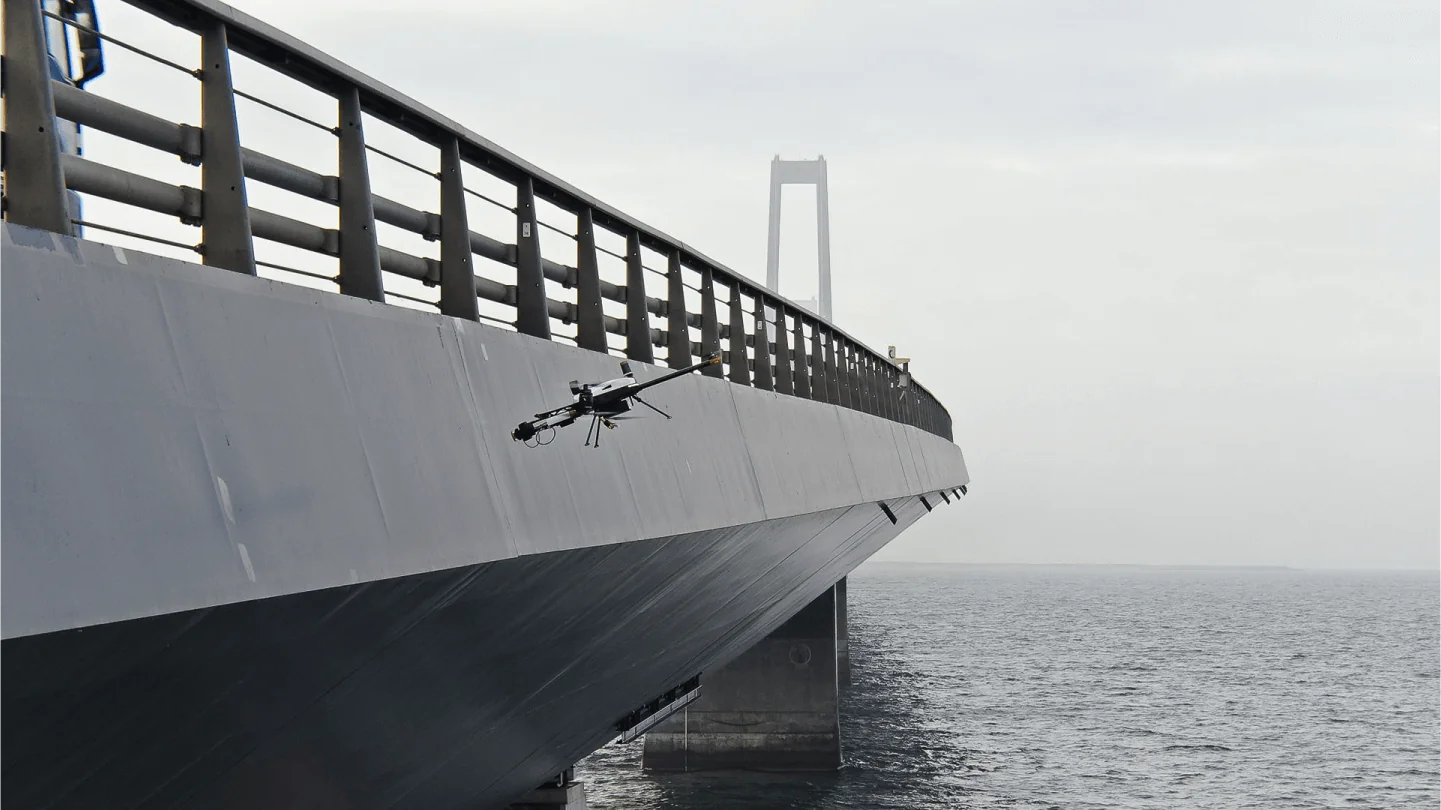
Under a bridge deck and between the piers, satellite signals are weak or blocked. IntelliFleye drones build a real-time 3D map and fly close to the structure on their own, so engineers can look at bridge damage up close.
Why Its Hard
Bridges Are Difficult To Inspect With A Standard Drone
No Reliable GPS
The deck and piers block the sky, so satellite positioning drops out right where you need to look.
Hard-to-Reach Structure
Undersides, bearings and high piers are hazardous and slow to inspect by hand.
Checks Must be Regular
Bridges need to be monitored over time, so each inspection has to be easy to repeat.
How IntelliFleye helps
Autonomous Flight Where GNSS Is Missing
Flies Without GNSS
Cameras and specialised sensors give accurate positioning and a detailed 3D map, with no satellite signal needed.
Plans The Path, Avoids Obstacles
BionicSense plans the flight path and avoids piers, cables and other obstacles in real time.
Mission Planning On The Ground
Operators set waypoints and plan flight trajectories in the ground control station before takeoff.
What you can find
A Low-Cost Way To Monitor Your Bridges
Bridge Damage
Quickly identify damage on the structure.
Performance Problems
Spot problems that affect how the bridge performs.
Capacity Decline
Track changes over time with repeat inspections.
Drones are easy to deploy and cost-effective in maintenance projects, so engineers can monitor bridges regularly.
How it works
From Plan To Result In Three Steps
Plan
Set waypoints and the flight trajectory in the ground control station.
Fly
The drone follows the route on its own and avoids obstacles.
Review
Engineers review the inspection footage and plan maintenance.
Bridge inspection video
Which product fits
Choose How You Want To Fly
Complete System
BionicSense
Visual self-driving system with 3D mapping, path planning and obstacle avoidance. Triple-redundant IMU, barometer and compass.
Navigation Sensor
BionicNavi BN-100
Adds accurate position data to your own drone, with and without GPS. 265 g, works with PX4 and ArduPilot.
Frequently asked questions (FAQ)
Can a drone inspect a bridge without GPS?
Yes. BionicSense uses cameras and specialised sensors to build a 3D map and fly autonomously where GNSS is not available, such as under a bridge deck.
What can a bridge inspection drone find?
Drones help engineers quickly identify bridge damage, performance problems and capacity decline.
Do I need to buy a drone from IntelliFleye?
No. If your drone has a PX4 or ArduPilot flight controller, BionicNavi BN-100 can give it accurate position data. IntelliFleye also offers the S400 series drones.
How do I get a quote?
Use the Talk to Sales button or email Business@intellifleye.com and tell us about your bridge.
Tell us about your bridge
Tell us about your site and your mission. Our team will recommend the right model.